Take the train from Liverpool Street to Cheshunt station; you are now in the middle of a 26-mile land reservation called the Lee Valley Regional Park, first proposed in Patrick Abercrombie’s Greater London Plan of 1944. In a few years, once the Olympic citadel has been opened up, you will be able to begin to walk or ride through London from where the River Lea flows into the Thames to the outer edge of London’s Green Belt. It will have taken 70 years to pull that off, which is instructive: a big idea = a lifetime.
For me, the valley has every ingredient needed for a masterclass on urbanity – often presented in the most explicit and engaging way. Rather like that old computer game SimCity, the valley is overlaid with the systems needed to support London. Here you will find power lines and power stations, gas storage, reservoirs, food production, bizarre leisure landscapes and gloves-off transport infrastructure. There are also case-study anthologies of development, from post-war social housing experimentation and manufacturing industry to the more recent suburban private development of places like Enfield Island Village, built cheek by jowl with giant supermarket logistics depots. In contrast to the tidiness of suburbia, the valley can be breathtakingly wild and provisional – with the wildest parts usually pieces of obsolete engineering, so that ‘natural’ and ‘artificial’ become useless distinctions.
Duck under the M25 viaduct, marking Greater London’s outer orbit, and follow the river south. This is border country: for millennia this territory has formed both a place of retreat from the city, and an entry route into London. The Lea, once the line between Saxon and Danelaw, remains a boundary along its length with the effect that the valley lies in the backlands of six London boroughs. Its border quality has attracted informal and nefarious uses – the stuff that isn’t socially or legally acceptable in the city. The main drama underpinning all this is our attitude to land and who uses it. As you walk, compare the generosity of the canalised river at Enfield Lock – eighteenth century technology, open and unfenced – with the contemporary monofunctional landholdings for flood control and utilities behind steel palisades. That hill you see is actually the berm of a mighty reservoir, but you will struggle to access or even see into the interior.
Railways marked the beginning of enclosure of the valley and sparked riots. On the west side of the valley the line is dead straight, apeing the line of Ermine Street – the A10. On the east side at Chingford the tracks terminate abruptly on the edge of the forest, reminiscent of those photographs of locomotives in the Amazonian jungle that fascinated the Surrealists. The battle against enclosure has been long lost, together with particular connection between the land and the people living there. The twenty-first century valley is the preserve of top-down infrastructure and solitary men and their hobbies. On Higham Hill, marvel at the frosted bathroom windows turned to one of the finest views in London.
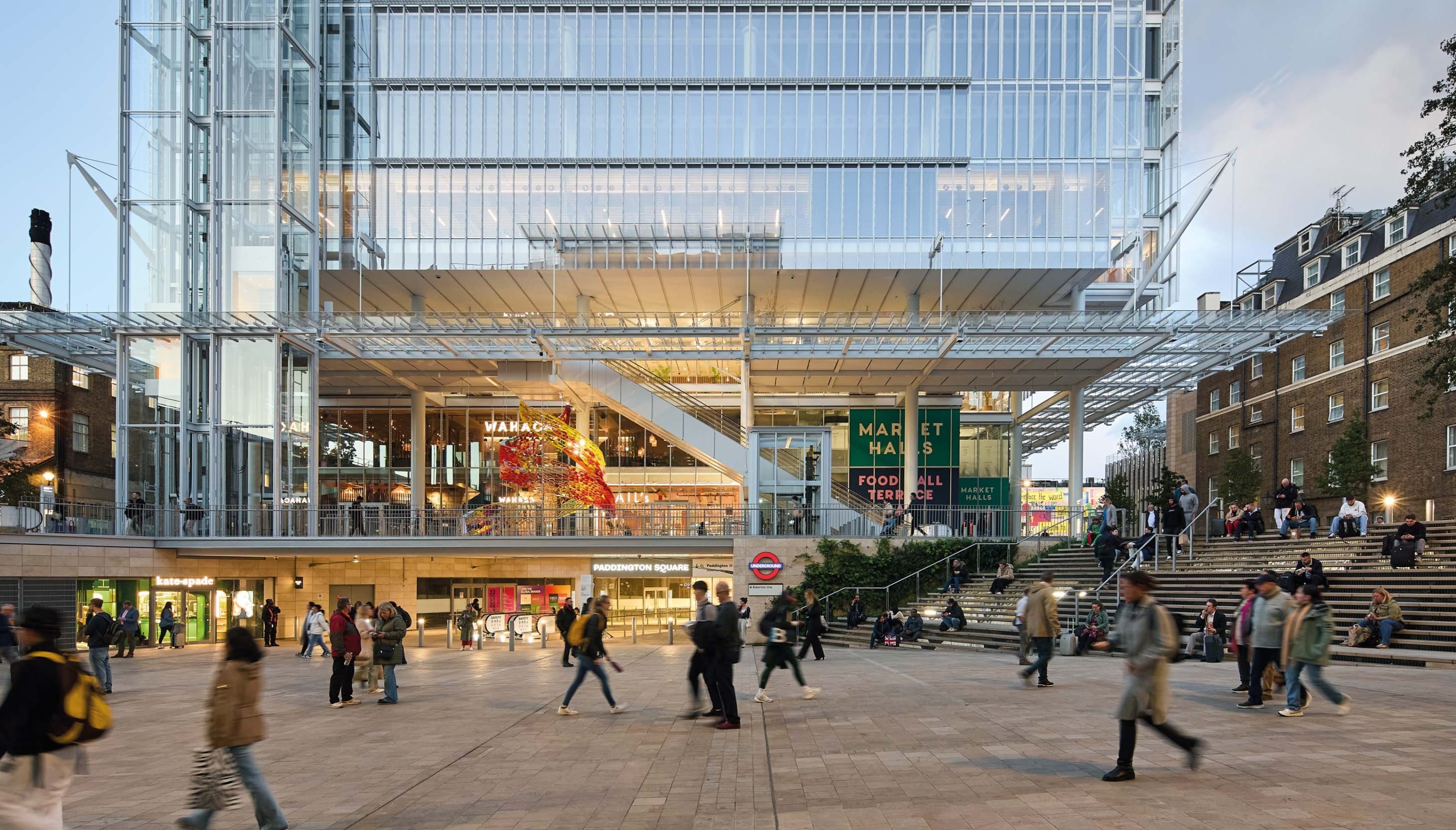
Cross the valley at Tottenham Hale and orientate towards the heady heights of Stamford Hill before turning south across Walthamstow Marshes – a re-wilded landscape of obsolete water purification plant. The intimacy of these grazing marshes opens up to Hackney Marsh where the multiple goalposts and Sunday league games alert us to the dominance of sport over the topography of the next three miles, from amateur football through to Europe’s largest regeneration project, the 2012 Olympic Games, nearly complete now. Even here the tradition of feeding and watering London endures, from New Spitalfields Market to Forman’s smokery on Fish Island – a good place to stop for lunch.
But rouse yourself – here comes my favourite bit. Cross Stratford High Street and locate the Lea again at Three Mills. Just across the river is Mill Meads, setting for Cedric Price’s unrealised Fun Palace project. Joseph Bazalgette located his cathedral to sewage there, saving London from the cholera epidemics that decimated other cities. A century later his grandson brought the Big Brother house to the same location.
At Bow Locks you get one of London’s great panoramas: a big sky and Canary Wharf against a foreground of industrial detritus and the river. The next stretch of walk you can’t physically do until our Fatwalk project is complete in a year or so. For the time being, detour to the misery of the A12 East Cross Route and head for East India Dock Basin, at the end of the valley, where the full majesty of the Thames is revealed. No firm plans have been agreed for this extraordinary but neglected place, so you’ll have to recreate the drama of the basin for
yourself. For now it hides its light under a bushel.
Tom Holbrook is the Director of 5th Studio, whose project for the Fatwalk, a linear park connecting the Olympic Park to the Thames, is in planning.
AT208/May 10 p104.