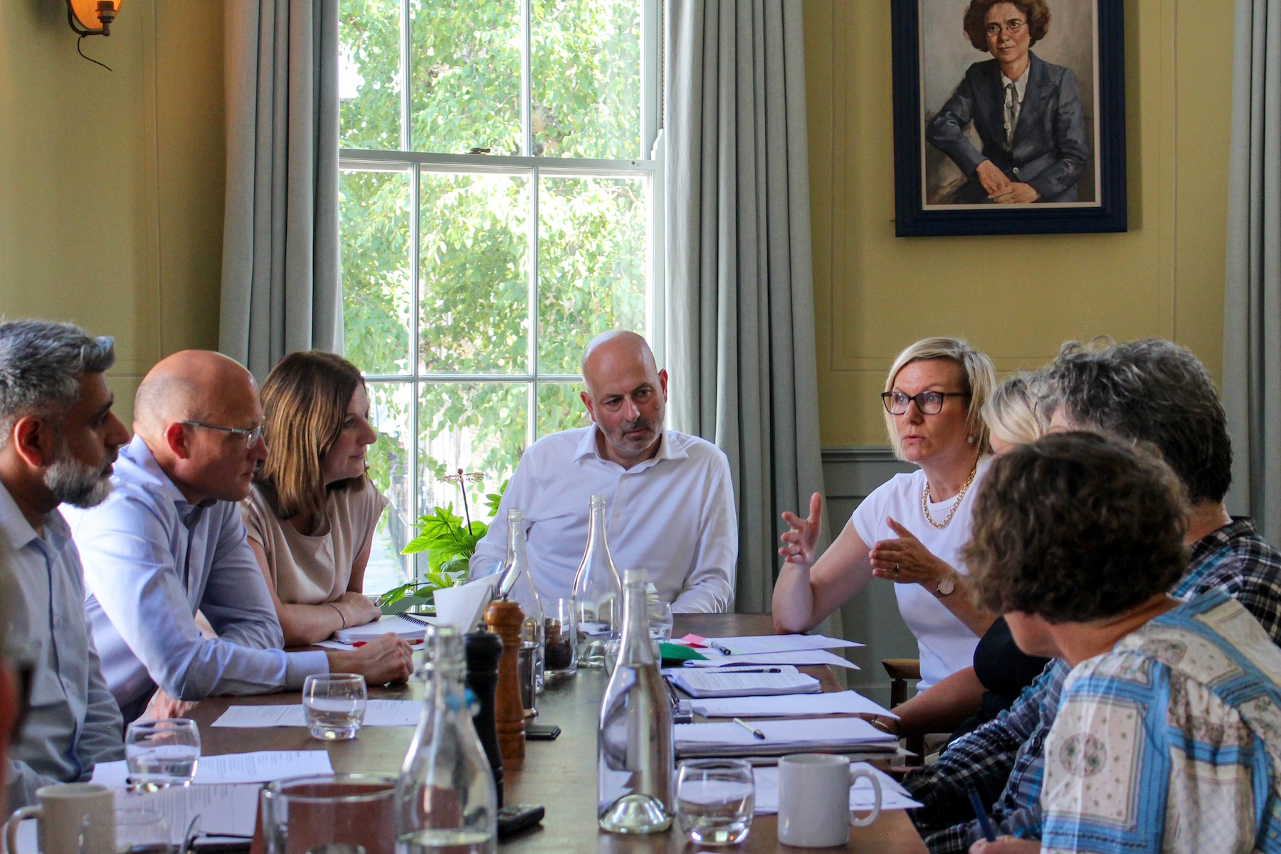
Stina Hokby, associate partner at Fletcher Priest, makes the case for ‘lacing’ together urban communities in order to improve their connectivity.

We need roads, for obvious reasons. But large roads and highways ought not be barriers to people moving around the area where they live. While designed to improve traffic flow, thoroughfares such as these often isolate communities immediately adjacent to them. ‘Humanising’ urban districts should be a priority for planners and designers, increasing the potential for connectivity and reducing dependency on the car.
Policy and design practice is changing to tackle the legacy of a highways-oriented mindset of previous generations, but this is a slow process and often held back by the high costs associated with road alterations. A recent analysis of the Euston Road in London by the Bartlett School of Architecture and others speculated on what might be done to improve one of the busiest thoroughfares in the capital – which at points looks like a chasm – and how those living and working on either side of it could be better served.
Asked for our input, we viewed the communities and pockets of social activity on either side of the Euston Road as eyelets in a shoe, which would be linked by a proposed series of urban laces, corridors that defined the north/south connections spanning the highway. These would function as the glue to link the eyelets and welcome people to move through the area. As such, our proposal focused on the crossing points rather than a uniform transformation of the road.
The Euston Road proposal is not an isolated case, and the principles at the base of our proposition can easily be adapted, and therefore adopted on sites around the country to give communities greater access across the urban realm.

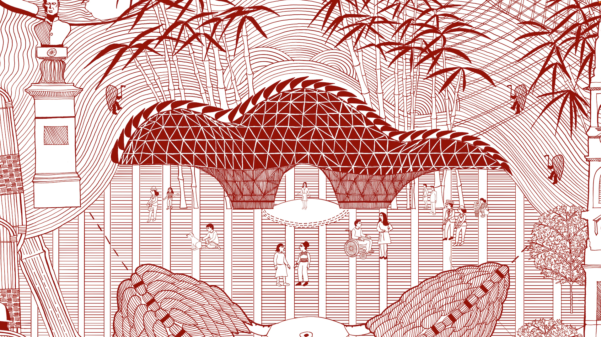
Reimagining London’s Euston Road corridor
Enriching the urban experience
Creating genuine urban experiences on main roads doesn’t necessarily mean transforming the road into a boulevard; it could be about looking at the key points where you can connect communities on either side. To do this effectively one needs to look beyond an individual project’s red line boundaries and beyond ownership lines. In our experience, this can only be achieved by tying into existing networks and by working in partnership with third parties.
Take Oxford North, a new innovation district in Oxford, which will deliver £100m of infrastructure investment, including £12m to improve walking and cycling routes, along with bus networks. The project will create a connected community for science and technology companies from start-ups to large corporates, residents, and neighbours, linking to the city centre and Headington’s Medical Sciences District and University Science Area. It will also include connections to nearby Oxford Parkway Station and form the gateway to the Oxford-Cambridge Arc.
One of our key concepts behind Oxford North is to turn the current ‘A’ roads that frame the site into tree-lined streets. Instead of roads that cut a swathe through the area, creating no-go zones for pedestrians and cyclists, we have designed the new buildings to front onto them with generous areas for people and planting. Alongside this, we are creating routes through the project so that new and existing green spaces, previously inaccessible, can be reached by people on foot and by bike.
This ties into our concept, employed in our ideas for the Euston Road, of a series of transverse connections; the ‘lacing’ mindset. So, in addition to improving roads going through sites along its length, we must look at how and where one would cross these roads, and how we can make those points of crossing attractive, desirable and safe.

Oxford North’s Plot A lab building designed by masterplanner Fletcher Priest Architects.
More green amenities, happier communities
Everyone likes access to green space. When talking to local people, we find they respond positively when we’re opening up a site and make the access to amenities, such as train and bus stations, easier. Go further by creating new green space in an area of development and it strikes a chord with local people. That green amenity provision can be one of the key ‘give backs’ a project can offer to existing communities.
Another example of lacing together spaces is the work we’re doing in Romford. Here we are delivering two schemes, Bridge Close and Rom Valley, both residential-led comprehensive redevelopment masterplans. Bridge Close, which sits at the heart of Romford’s town centre, will have up to 1,000 homes, a new primary school, workplaces, a community centre, and a new health centre. Currently, the site is hemmed in by a gyratory road, a leftover from 1960s town planning, and the River Rom, which makes it difficult for people to reach places like the railway station on foot.
We’re proposing a new pedestrian and cycling crossing over the ring road, and a new bridge over the river to link the west of Romford with the station. Think about lacing again. This connection will make it easier for people to move through the site. We’re also opening up the river, which runs through a concrete culvert at that point, greening the riverbanks and making them more accessible, while also creating a walking and cycling route.
Our plan aims to turn a key town centre site that is currently rarely used, remote, and often associated with anti-social behaviour, into an integrated part of the town centre – one that will be well used and appreciated by those living and working in the surrounding area. We are taking a similar approach nearby in the Rom Valley, which is to have up to 800 new homes, workplaces for local businesses, and a new primary school. With the Rom River on one side of the site and a main road on the other, the conditions are similar to Bridge Close. Our masterplan creates a robust, visual green amenity with new public open space and a car-free route to Romford train station and the town centre.

Fletcher Priest’s housing scheme for a former gasworks site in Folkstone, Kent. Site permeability will be enhanced by a new green car-free link, connecting the station to the town centre and harbour area, and providing a shared green amenity via a pocket park.
Brownfield sites, permeability, and slow connections
Brownfield sites require imaginative thinking to turn them into areas that can be used and enjoyed by local communities. In Kent, we’re working with Folkestone & Hythe District Council to develop a scheme in the eastern part of Folkstone, on the now derelict site of what was once a gasworks, that will deliver more than 100 homes and new open spaces. As well as being in a deprived part of the town, by its nature the site is currently inaccessible. Our plans aim to reverse that, opening it up and stitching it into in the local surroundings. We want to enhance permeability through the site via a new green car-free link, connecting the station to the town centre and harbour area, and providing a shared green amenity via a pocket park. Looking beyond the project red line we have identified a lack of green space in this part of the town and located the pocket park at the eastern edge of our site to address this.
We’re also working with Creative Folkestone, an arts charity that is very active in the town. Public art will be used to signal to local people that this is a public space, to be used by all. The basis of these developments is that they should bring about a lasting impact to the communities that live in and around them.
What we are doing in Oxford and elsewhere has the potential to be significant, and it is part of the bigger picture of change. And where others are already at work in the area, it is vital to establish an ongoing engagement with stakeholders in those places, such as landowners, local authorities and local interest groups. That way the best outcomes can be achieved for everyone.