AT chats to Tom Badger about how Newham Council is steering Canning Town’s major regeneration, balancing industrial intensification, housing growth, green infrastructure, and inclusive, community-led development.
What’s going on in Canning Town?
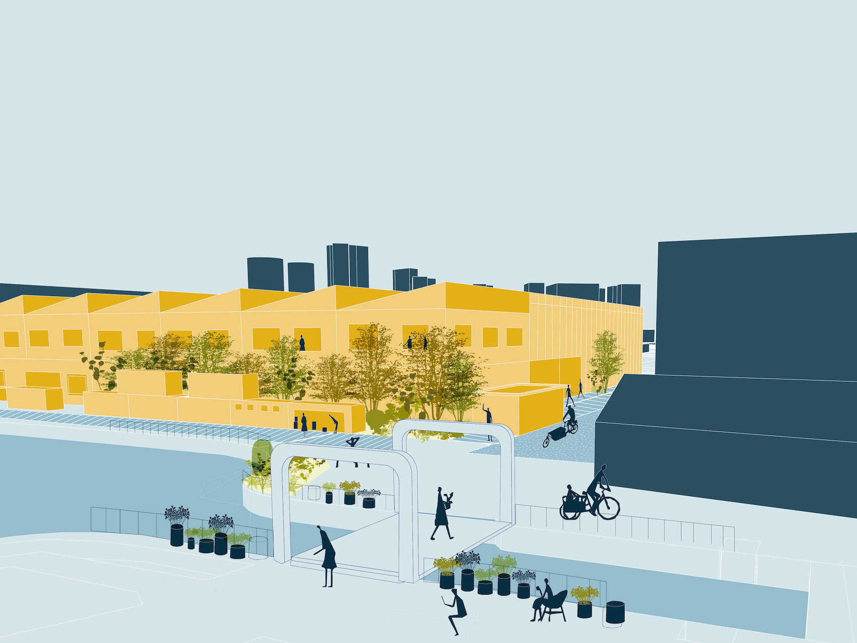
Canning Town is experiencing a period of significant growth and transformation, with plans for over 10,000 new homes, major infrastructure projects, and expanded employment opportunities. The Council is supporting and steering this change through targeted investment and delivery, including a large-scale Estate Regeneration Programme, a new Heritage Centre in the heart of the town centre, and active travel infrastructure along the River Lea. To the northwest of the town centre lies Strategic Industrial Land, which plays a vital role in Canning Town’s wider growth. Recognising this, the Council have developed a Strategic Regeneration Framework focusing on the role the industrial area plays in catalysing inclusive growth. The SRF sets out ways for industry and innovation to coexist alongside housing regeneration and areas of ecological importance. It was drafted in consultation with local businesses and community organisations; developing a delivery plan and vision for the area, referring to it as the “Canning Town Enterprise Hub”. The proposals in the SRF set out a holistic approach to growth for the Canning Town Enterprise Hub that will lead to increased industrial and workspace capacity, additional employment opportunities for local residents, new homes, as well as improved connectivity and access to the Lower Lea Valley.
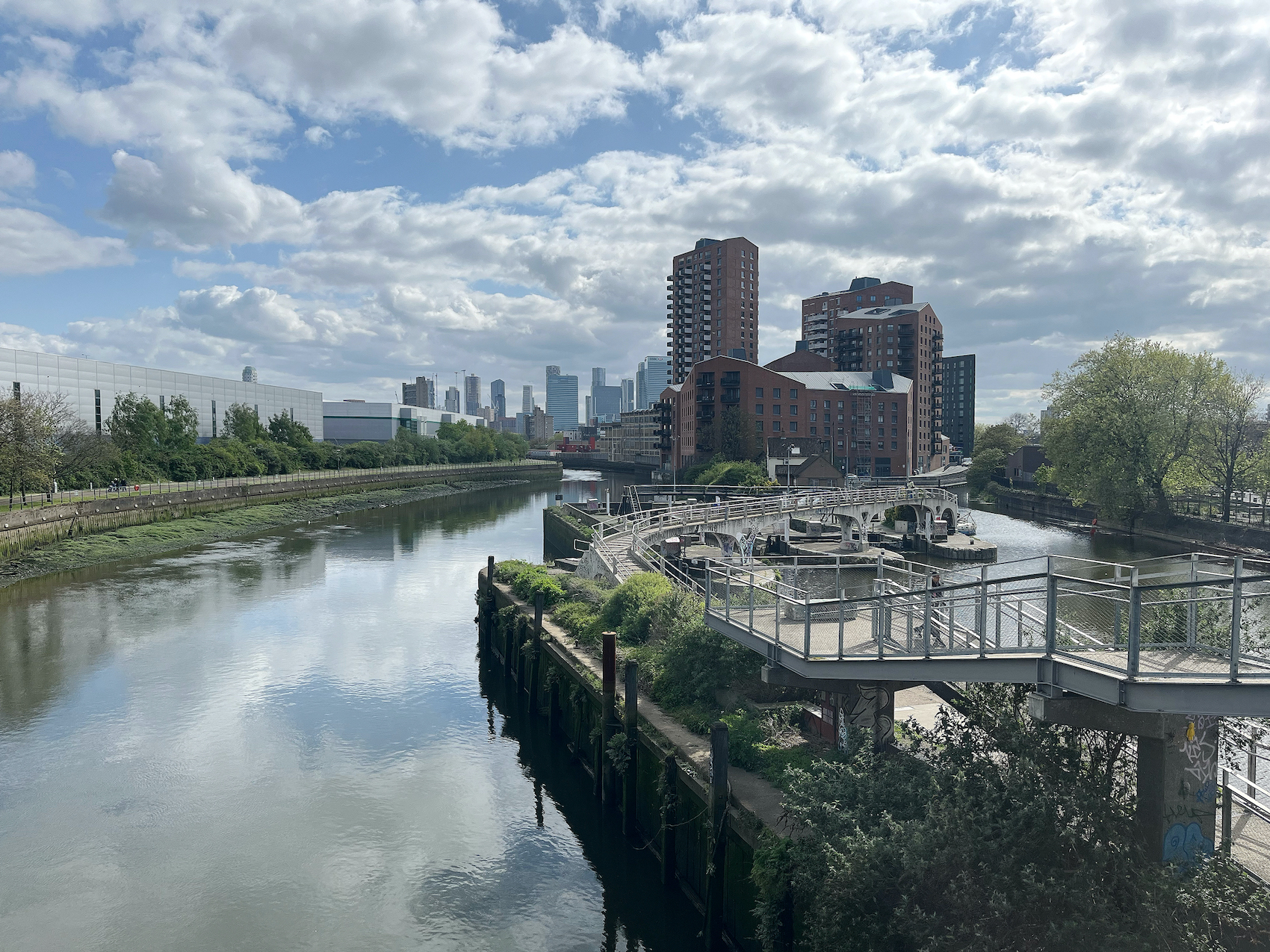
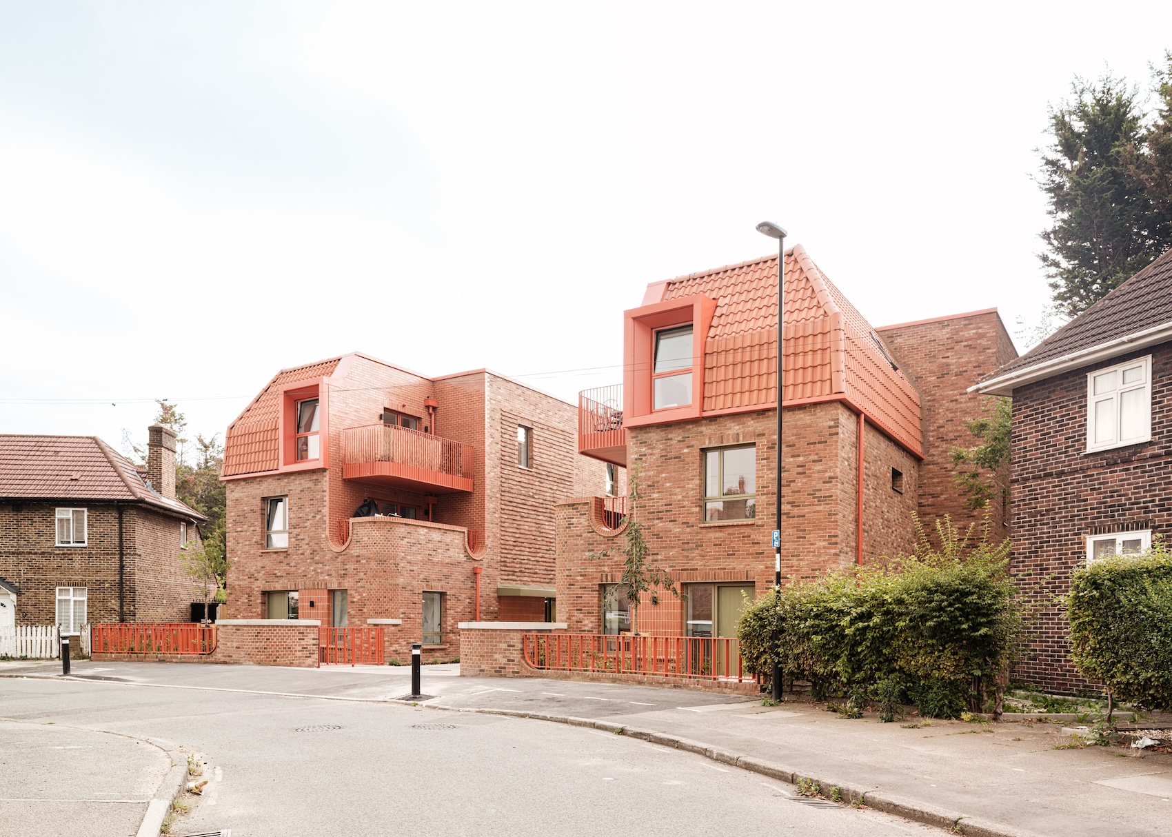
We Made That’s site at Canning Town
How did Newham Council first identify the need for this commission, and what were the core strategic outcomes you were seeking from the design team?
The Strategic Industrial Land in Canning Town is surrounded by major housing developments, including Bromley-by-Bow Gasworks, TwelveTrees Park, and Crown Wharf, but faces significant challenges, particularly with severance due to large roads and rail infrastructure. It is also an important employment hub for the borough, as well as being home to important cultural and natural assets. The Council owns significant land in the area and has been delivering capital works to support housing growth for several years. All of these factors highlighted the need for a coordinated approach that integrates housing growth with employment, industrial intensification, ecology, and transport infrastructure. We saw an opportunity for the area to become an exemplar of inclusive growth – leveraging the Council’s assets while collaborating with local businesses, investors, and developers. The resulting brief for the commission focused on a creating a holistic vision for the area that looked to coordinate private, public and third sector interest.
What criteria guided your selection of We Made That and the wider consultant team? Were there specific skills, methodologies, or values you were prioritising?
We received several strong bids from architects and urban designers, making the decision challenging. We Made That and their sub-consultants stood out for their ability to balance visionary thinking with practical delivery planning. They demonstrated a strong capacity to synthesise multiple strands within a complex brief, addressing inclusive growth, industrial needs, and climate action in a cohesive way.
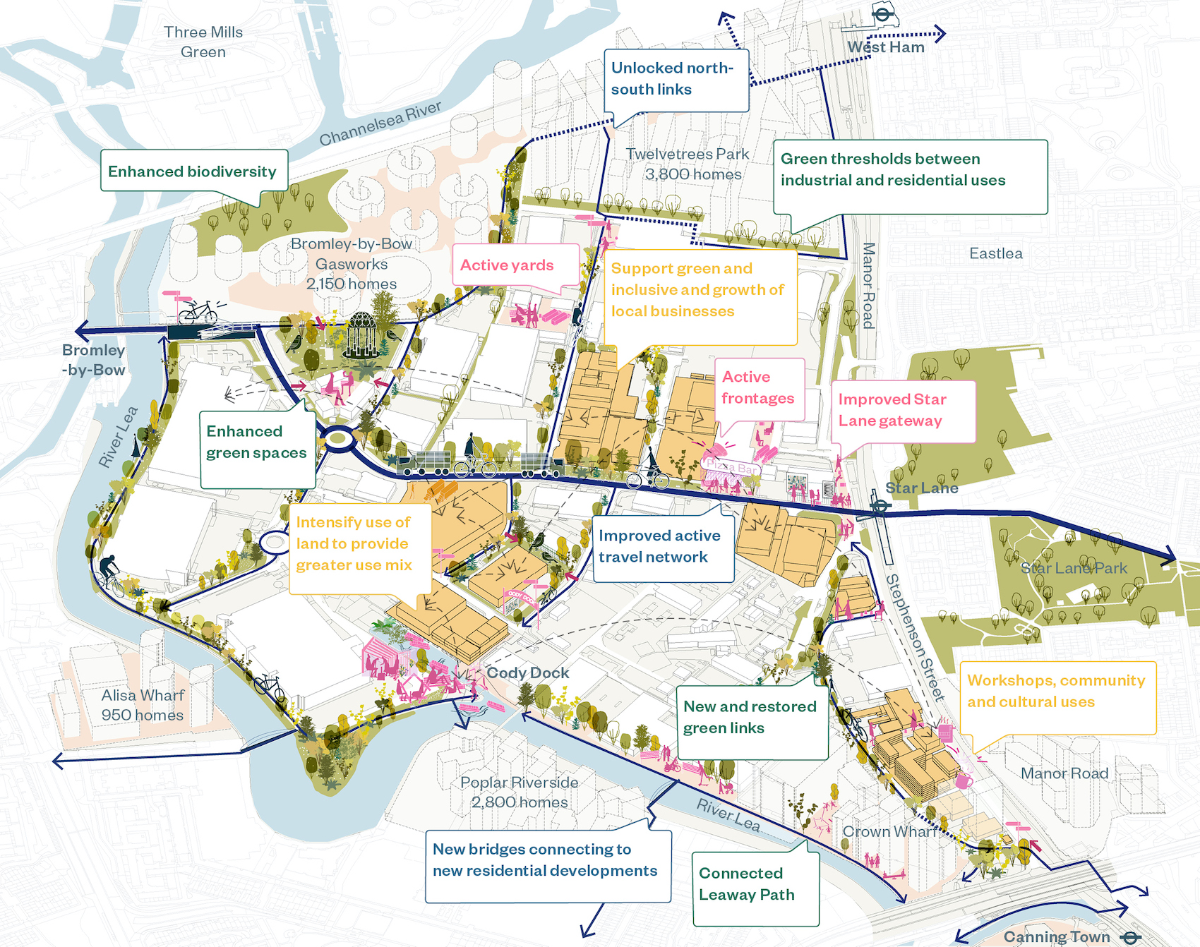
Axonometric overview of the Canning Town site
How does this work sit within Newham’s broader policy landscape, including the Just Transition Plan, Community Wealth Building Strategy, and Local Plan?
This work is fundamentally a place-based response to Newham’s Growth Plan and Community Wealth Building agenda. It translates the principles and policies in these documents into actionable strategies at a neighbourhood scale. The framework identifies the Council’s levers for the delivery of key Growth Plan priorities, from large-scale regeneration to business network development, employment opportunities and infrastructure improvements. It is also informed by other key policy documents, including the Local Plan and the Just Transition Plan.
How were key decisions made, and what governance structure enabled progress across such a broad set of themes (ecology, industry, growth, accessibility, circularity)?
The project was highly collaborative, involving multiple Council service areas and external partners, including local businesses. Extensive engagement and workshops with stakeholders provided a deep understanding of the area and helped shape deliverable outcomes across diverse themes. The resulting framework combines physical interventions, such as placemaking and industrial intensification, with policy and network-based initiatives. This flexibility ensures the plan aligns with different Council functions and supports both community wealth building and inclusive growth.
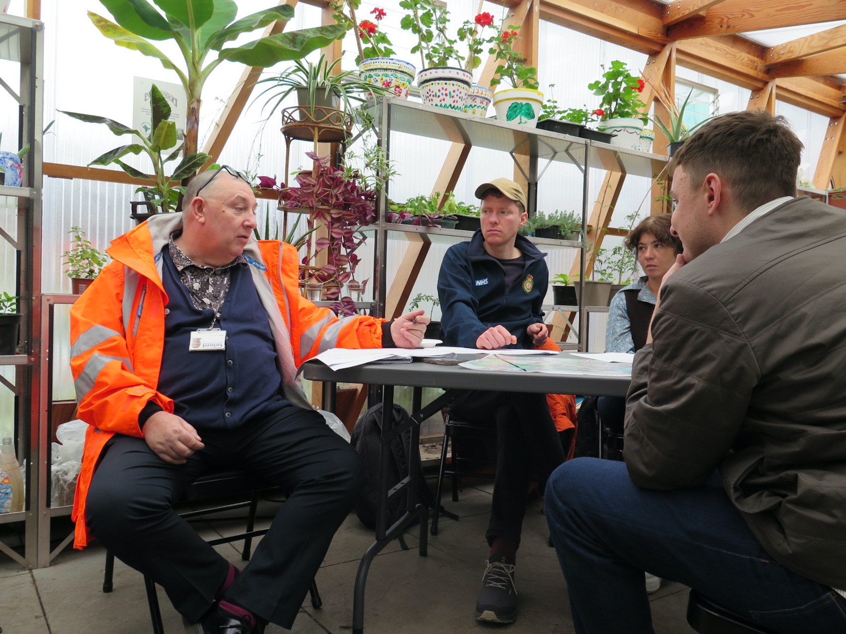
Circular business workshop undertaken in Canning Town by We Made That
Were there insights from business owners that significantly changed or refined the direction of the strategy? And how do you plan to keep these networks active and influential as the projects move into delivery?
One key insight was the level of existing activity around climate action and circularity. Businesses were already deeply engaged in these topics, with our session on circularity and waste being the most well-attended event. We also have strong partners like Cody Dock, who are working with businesses to improve green infrastructure and public realm, making the area more welcoming for residents and wildlife. We are continuing to collaborate with Cody Dock and local businesses to strengthen green infrastructure, expand habitats, and increase biodiversity beyond the riverside into industrial areas. In partnership with our climate action team, we are establishing further local business forums and exploring the opportunities for long-term business-to-business networks. This builds on successful climate agreements with businesses in the Royal Docks, and we are keen to develop a similar initiative tailored to the Canning Town Enterprise Hub.
How does this commission help shape longer-term thinking around the re-use infrastructure London will need, especially for construction materials?
The strategy explored potential sites for building the infrastructure necessary to grow reuse and circular initiatives, as well as examining existing companies and waste streams in the area. Through local business forums, companies began to identify opportunities to share resources and reduce waste. The Council plans to build on this momentum through further engagement in the coming months. We also discussed how existing waste management companies could diversify their operations to include circular material storage and logistics, supporting London’s long-term goals for sustainable construction.
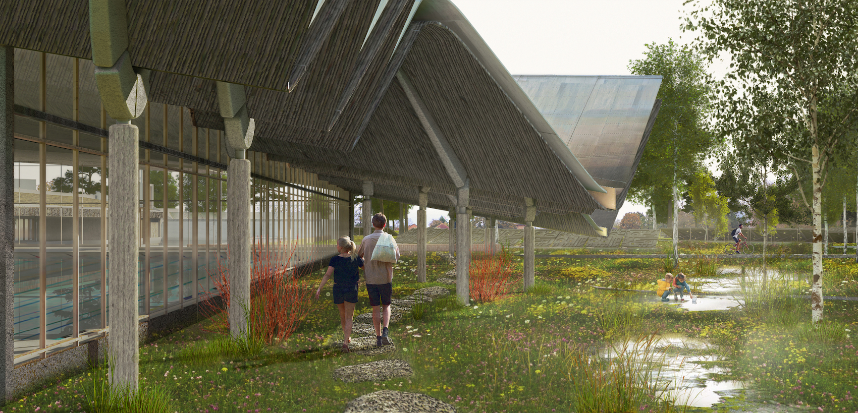
Visualisation of the Canning Town development
What does “co-evolving with nature” mean in the context of Canning Town and Cody Road? And how significant is the riverside ecology in the council’s long-term ambitions for this part of the borough?
One of the ambitions of the study was to try and understand how industrial and residential growth can sit alongside the protection, and enhancement, of important natural habitats and green infrastructure. As the strategy suggests, the delivery of this ambition will require close coordination with local businesses and developers, ensuring that development in the area enhances the provision of green spaces and retains the habitat corridors that are essential to London’s wildlife. Newham has a deficiency in Green Space and the river Lea plays a vital role as a habitat corridor and amenity space for residents, workers and wildlife. Continuous public river access also plays an important role in this, with the Leaway path being a long standing ambition for the Council. We are working to deliver this as sites come forward for development, which will eventually result in a continuous green route from the Thames, through Canning Town and Stratford, up into the Lee Valley Regional Park.
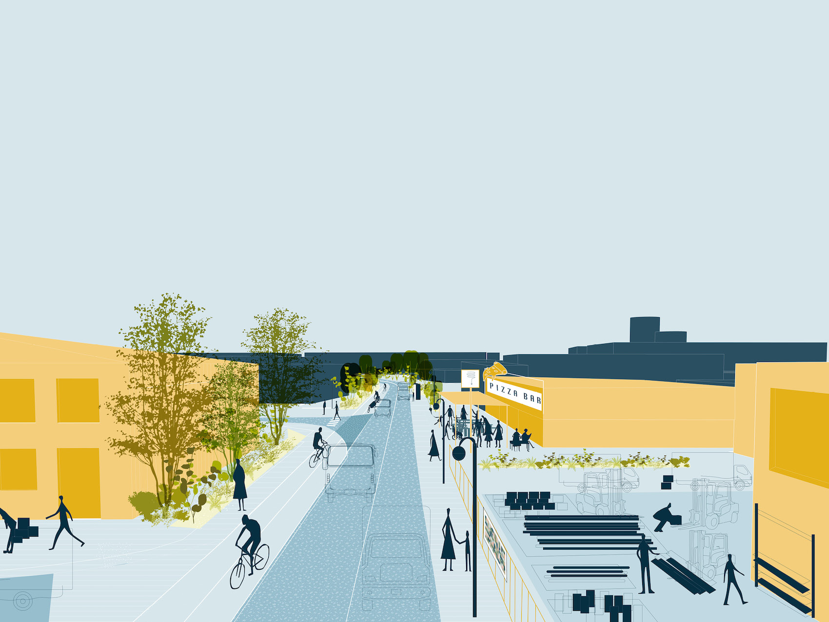
Visualisation of the Canning Town development
What are the priority next steps for delivery, and where is funding being targeted first?
The Council’s Cabinet recently adopted the Strategic Regeneration Framework, marking the first step toward delivering the identified projects. At the same meeting, a £4.8m funding package was approved to deliver the Mayer Parry Bridge – a critical piece of enabling infrastructure that will connect major regeneration sites with employment areas, transport links, and green spaces. This project is being delivered in close collaboration with the GLA and Tower Hamlets, who have also committed funding. We anticipate the bridge will move toward planning in 2026.
A key aspect of the study was understanding how the Council’s land assets could deliver employment growth and generate greater income. We are therefore working closely with other teams from across the Council and undertaking further feasibility work to explore how the Council’s assets in the area could be developed in the future.
Alongside this, we are working closely with the Local Planning Authority to ensure recommendations from the framework are embedded in the planning process. While the document is not formal planning policy, it aligns closely with the Local Plan and is being used to coordinate infrastructure needs that support industrial intensification and housing growth. This includes securing riverside access through Section 106 agreements, coordinating highway improvements/infrastructure need, and ensuring private developments deliver local biodiversity offsets.
We are continuing to work closely with Cody Dock, neighbouring developers and local businesses to explore how green infrastructure and public realm in the area can be strengthened expanding habitats and bidodiversity away from the rivers edge and into the industrial areas.
How is the council approaching stewardship of the riverside and industrial assets over the long term?
The riverside is characterised by a complex mix of ownership arrangements, much of which lies outside the Council’s direct control. To address this, we are securing public access through the planning system, which will ultimately create a continuous riverside walkway stretching from Canning Town to Stratford and beyond.